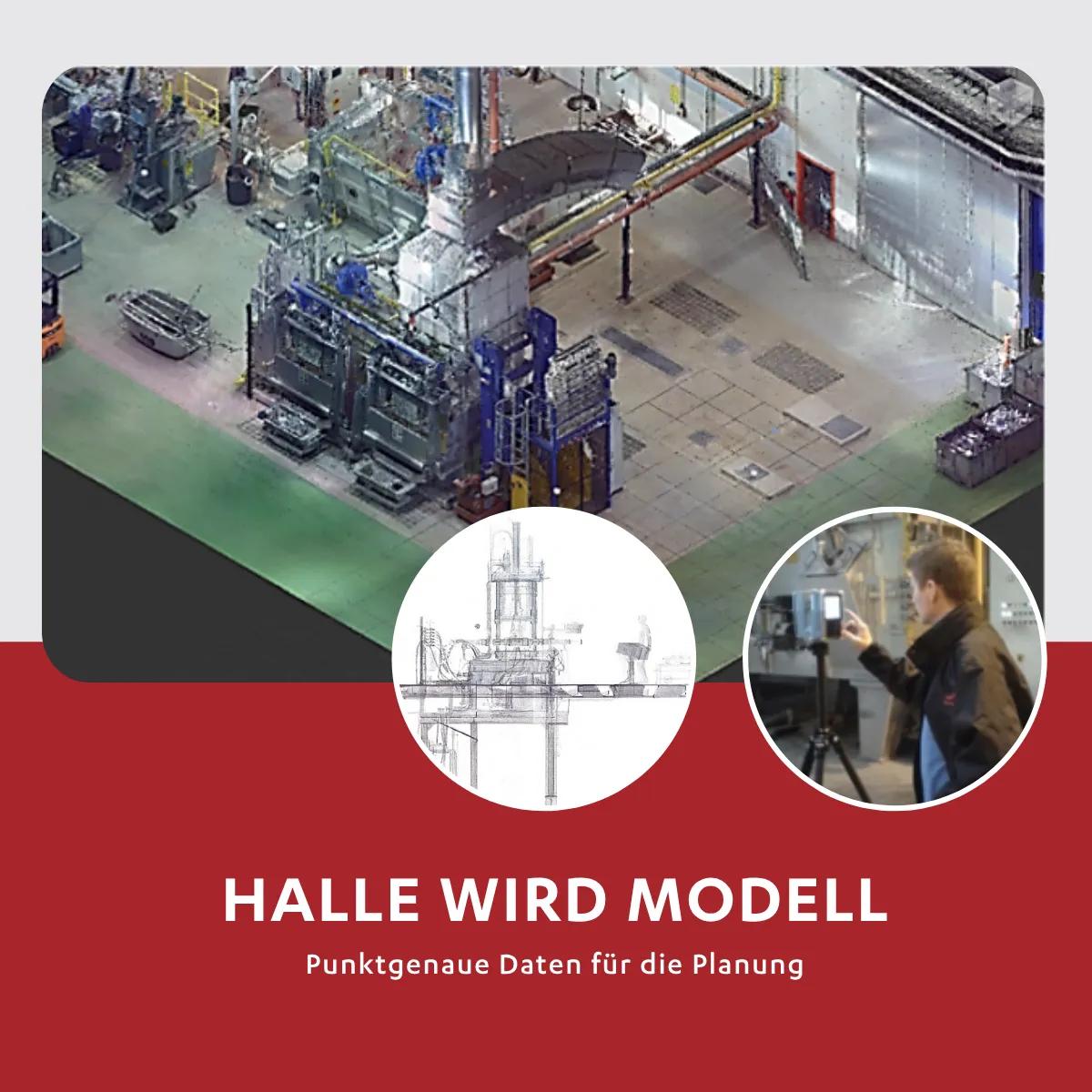
How does the hall get into the model?
HÖRMANN Rawema uses terrestrial 3D laser scanning to precisely capture existing buildings and structures and integrates the generated point clouds directly into the planning work.
HÖRMANN Rawema uses the FARO Focus Premium, a laser scanner with a range of up to 350 m and a maximum scanning speed of 2 million points per second. The accuracy is up to 2 mm.
What happens during the scan?
The scanner stands on a tripod and is moved step by step through the hall. It records the surroundings in millions of individual points. With the help of software such as FARO Scene, the scans are then registered and merged, either using classic reference spheres or automatically via cloud-to-cloud recognition.
Once the point cloud has been created:
- we define the spatial axes and the zero point
- export the data to E57 format
- and prepare it in Autodesk Recap and AutoCAD for further steps - e.g. for 3D modelling. For example, for the 3D modeling of an existing building
In addition, the scans can be colored by height, for example, or specific areas can be isolated, a practical basis for precise, digital planning.
Further technologies for recording and evaluation are currently being tested and trialed at HÖRMANN Rawema.
